01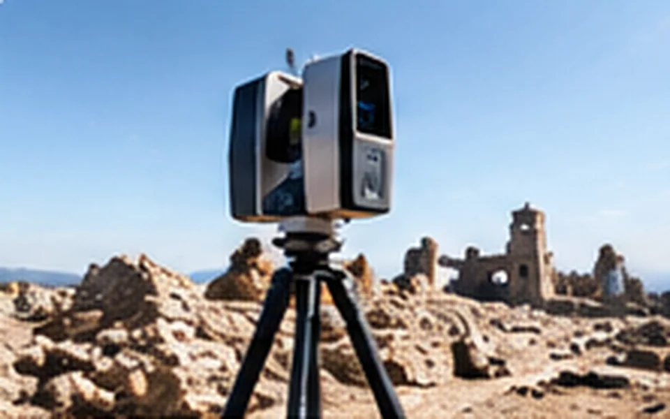
Terrestrial Laser Scanning
High-precision 3D capture for architecture, infrastructure, engineering and heritage.
Discover solutions ↗
Discover world-class 3D laser scanning, LiDAR, mobile mapping and aerial reality capture technologies — expertly matched to your application.
From detailed building documentation to complex aerial surveys, the right scanning technology changes what your team can achieve. INNOV8IVE TECHNOLOGIES brings a multi-brand perspective to 3D reality capture — helping organizations discover the right tools for the right challenges.
Discover our approach ↗From the smallest industrial component to entire cities — find the right way to capture your world.
High-precision 3D capture for architecture, infrastructure, engineering and heritage.
Discover solutions ↗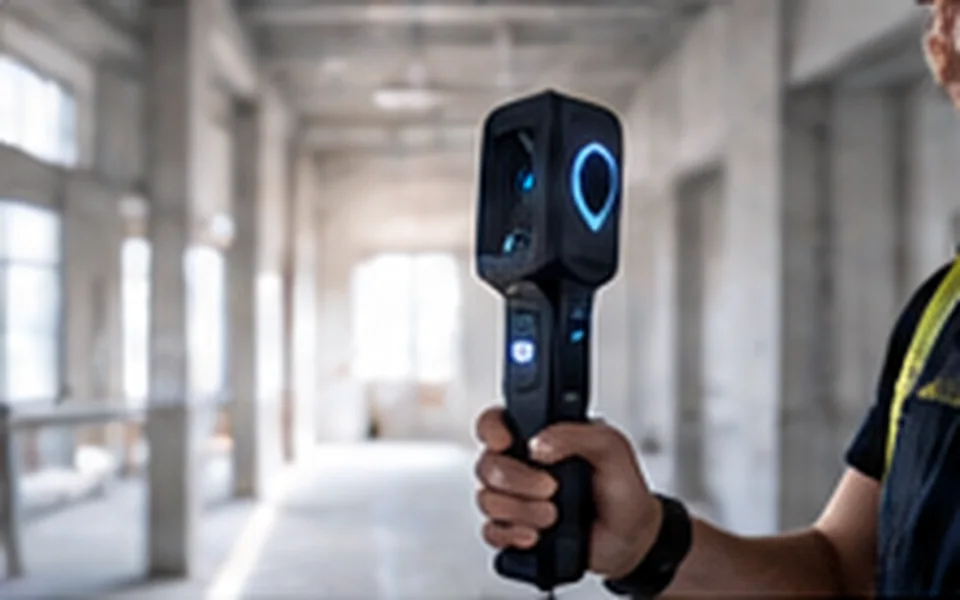
Rapid reality capture for complex indoor spaces and dynamic environments.
Discover solutions ↗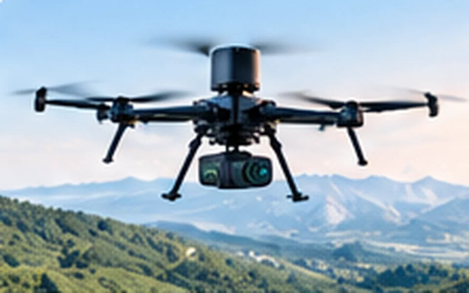
UAV-integrated LiDAR and photogrammetry for topography, terrain and assets.
Discover solutions ↗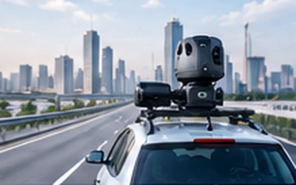
Efficient, high-volume geospatial capture for roads, rail and corridors.
Discover solutions ↗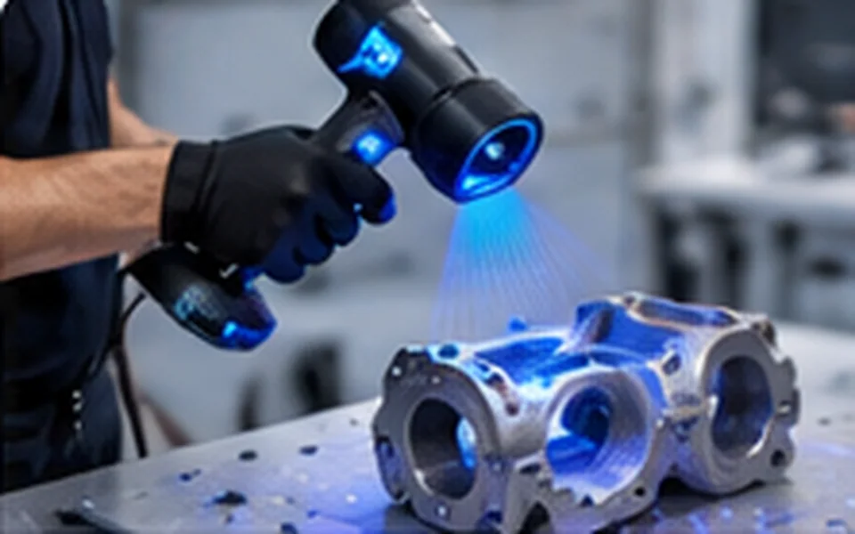
Precision digitization for inspection, reverse engineering and manufacturing.
Discover solutions ↗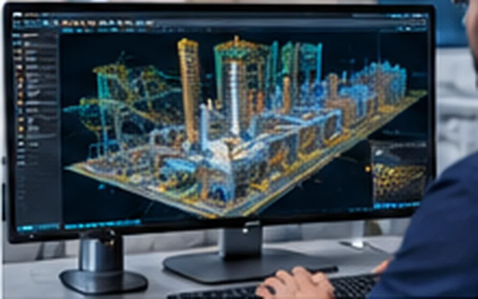
Turn point clouds into actionable models, insights and digital workflows.
Discover solutions ↗
Every project is different. Your technology should be too. We focus on understanding the application before identifying the equipment, workflow and capabilities that fit.
Explore different approaches without being limited to one technology category.
Align scanning range, accuracy, productivity and deliverables with your needs.
Consider sensors, platforms, software, integration and training together.
Reality capture transforms the way industries plan, build, inspect and preserve.
Terrain mapping, geospatial intelligence and spatial data.
As-built documentation, Scan-to-BIM and progress capture.
Road, rail, utility and corridor mapping.
Terrain, stockpile and environmental surveys.
Quality inspection, dimensional analysis and reverse engineering.
Digital preservation, documentation and 3D visualization.
Millions of measurements. One clearer picture. From point clouds to actionable digital representations, discover how 3D reality capture can redefine your next project.
Explore Your Application ↗Illustrative technology and industry imagery showing the breadth of 3D reality capture.
Visuals are illustrative, not evidence of a particular product, customer project or brand partnership.
Tell us what you need to scan and what outcomes matter.
Review accuracy, range, speed, workflows and project constraints.
Discuss available products, integration and next steps.
Consider accuracy, productivity and workflow differences for your project.
Understand terrain mapping, vegetation and airborne data capture.
Learn how 3D data supports modeling and asset intelligence.
Educational guide previews — full articles can be published through WordPress Posts.
Exploring a terrestrial scanner, mobile mapping system or drone LiDAR solution? Share your requirements and let's find the right direction together.
Start a conversation with INNOV8IVE.